Monitoring Forested Wetlands 101
Successful restoration projects are a staple of ours here at Delta. To ensure the progression of our projects, in both the short and long term, performance monitoring is essential. As regulated by the United States Army Corps of Engineers (USACE), Delta monitors our Mitigation Banks and Permittee Responsible Mitigation Areas (PRMA) either annually or on a similarly set schedule.
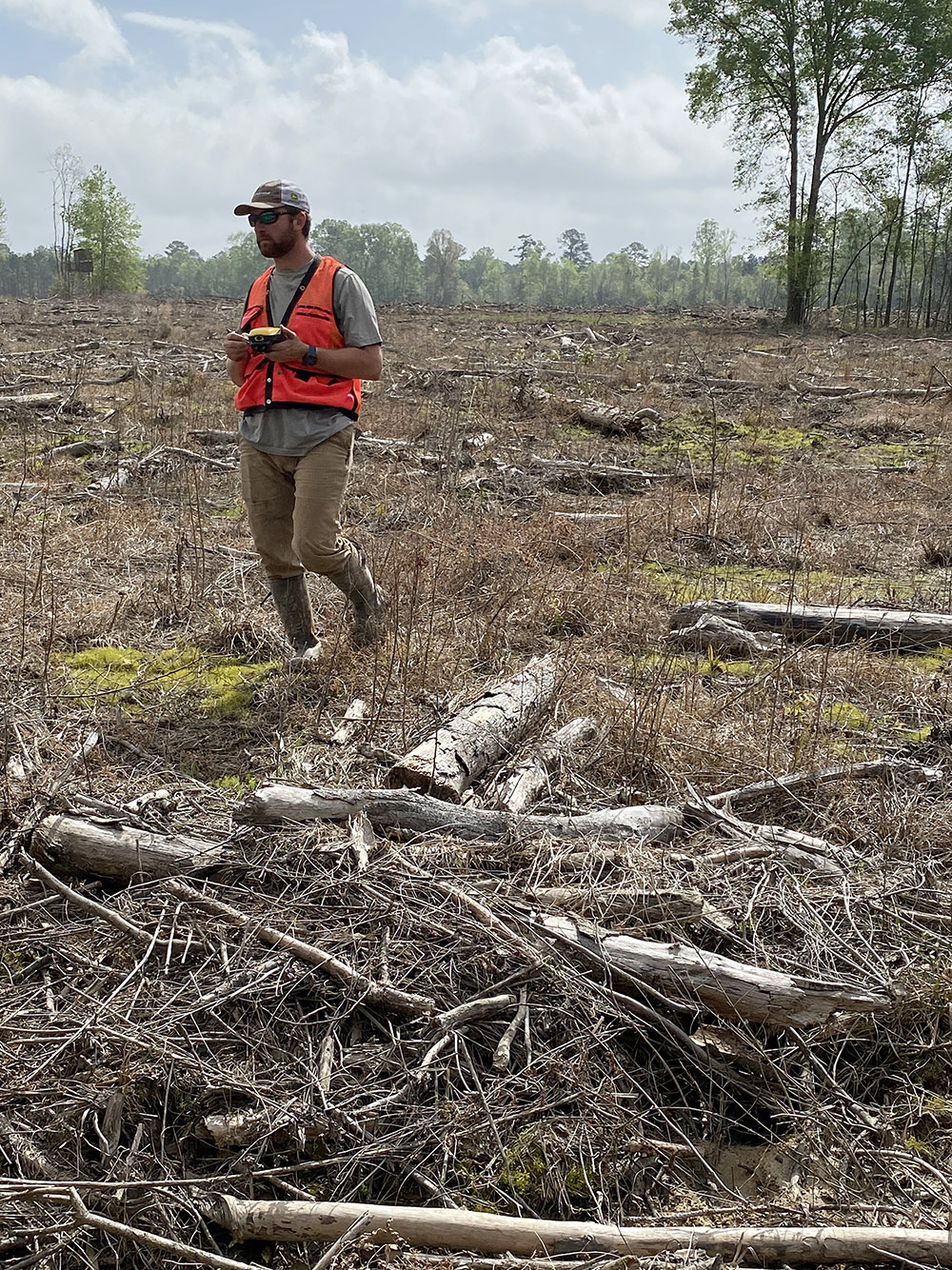
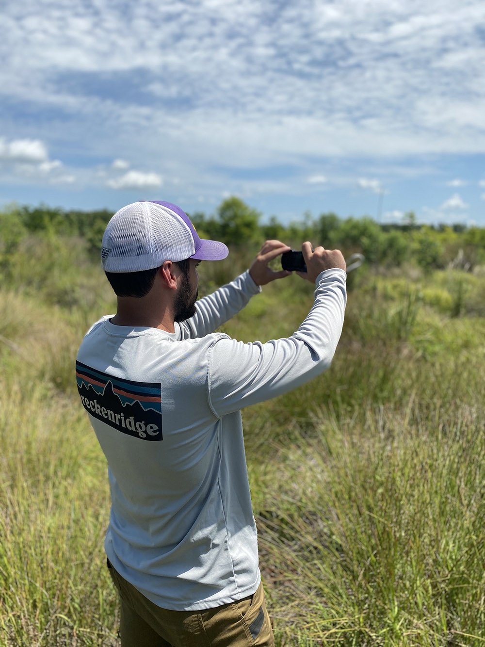
During these monitoring events, Delta biologists survey each habitat at the bank or PRMA. These habitat types vary from project to project but include forested wetlands, emergent wetlands and streams. The most common of those three are the forested wetlands, in which we take the following steps to monitor:
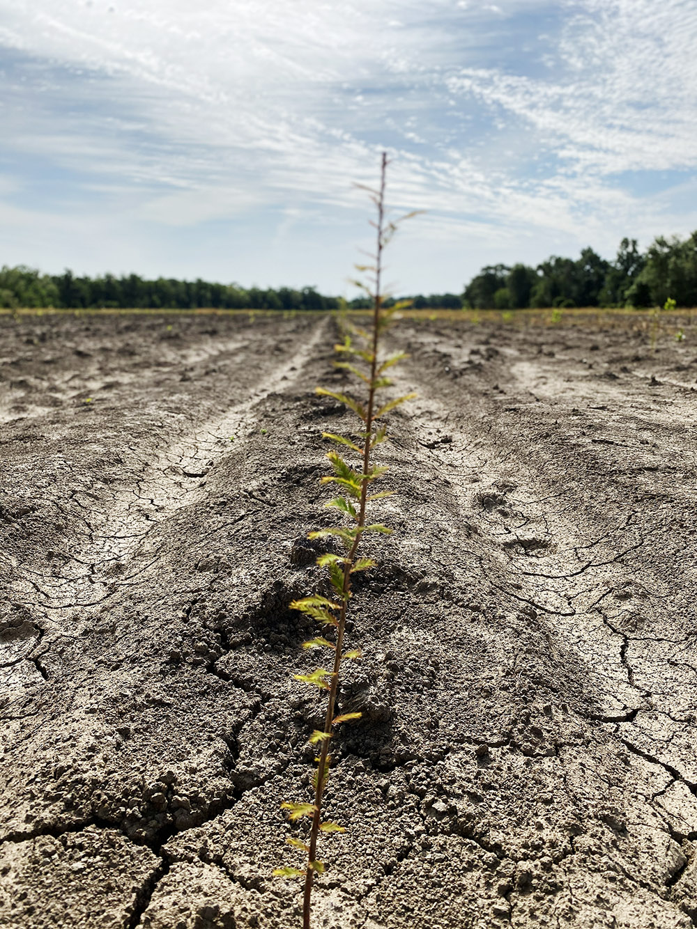
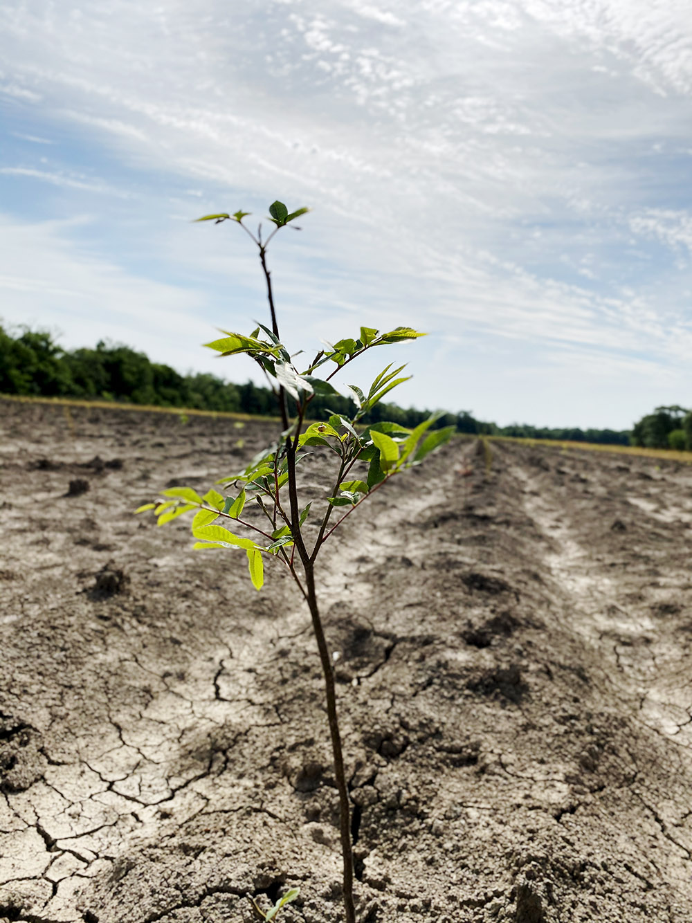
- Measure and count living tree species
- Sample project sites for wetland hydrology
- Sample soils within the project sites for hydric soil indicators
Hydrophytic vegetation, wetland hydrology, and hydric soils are the three characteristics that define a wetland. If for any reason, the project failed to possess one of these characteristics, it would not be valid to produce wetland credits to offset impacts, as regulated by the USACE.
The steps below outline the process we take in order to accurately measure the stems per plot and have repeatable data to be compared from one monitoring event to the next:
- We systematically establish monitoring plots throughout the bank
- Either 1/10th acre plot for every ten acres to be monitored or a 1/20th acre plot for every 20 acres to be monitored, specific to each project
- These plots are marked with a GPS point and physical marker, such as a PVC pole
- Tree species vary by habitat type, but all living stems are tallied, measured for height, and measured for groundline diameter
- All living species are then logged with a GPS point.
This year has proven to be one of our more intense monitoring undertakings since Delta was established in 2009. Our team will sample and monitor over 30 properties in Louisiana, Texas, and Mississippi. In preparation for such a large task, we got an early start on fieldwork and already completed monitoring for 16 of our mitigation sites. These monitoring events allow us to verify the ecological lift generated by our restoration efforts as well as take adaptive management corrective measures, if needed.